
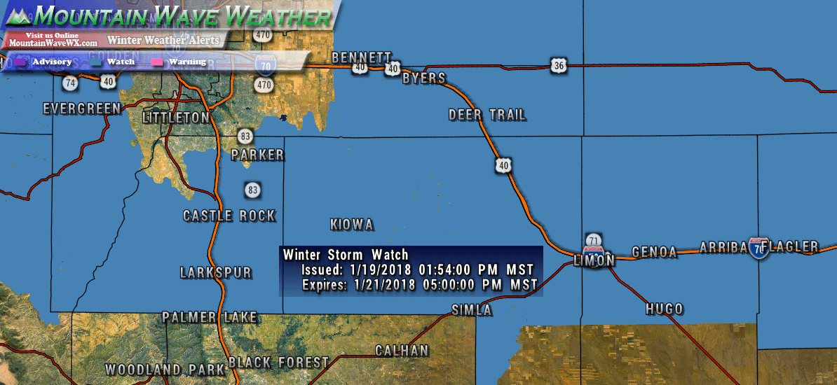
NWS Weather Alerts
There are no winter weather alerts with this storm for the Palmer Divide region. We will keep an eye out in case any get issued.
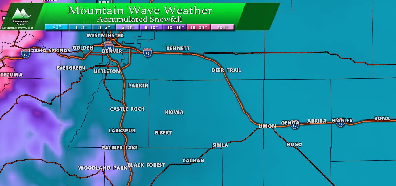
Expected Snowfall (through Tuesday 12PM)
*These are preliminary forecast amounts and will change with more data coming in on Sunday and Monday, stay tuned for changes*
- Castle Rock and surrounding areas
- 3-7 inches
- , Parker, Lone Tree, Highlands Ranch areas
- 2-5 inches
- Elbert, Elizabeth, Kiowa
- 4-8 inches
- Larkspur, Monument
- 4-8 inches
- Woodland Park, Palmer Lake, W. Colorado Springs Foothills
- 4-9 inches
Timing
- Snowfall looks most after 9PM on Monday, stay aware in case the storm arrives earlier...
- Heavier snow looks most likely from late Monday night through mid Tuesday morning
- Models have the storm exiting the area by 12PM Tuesday
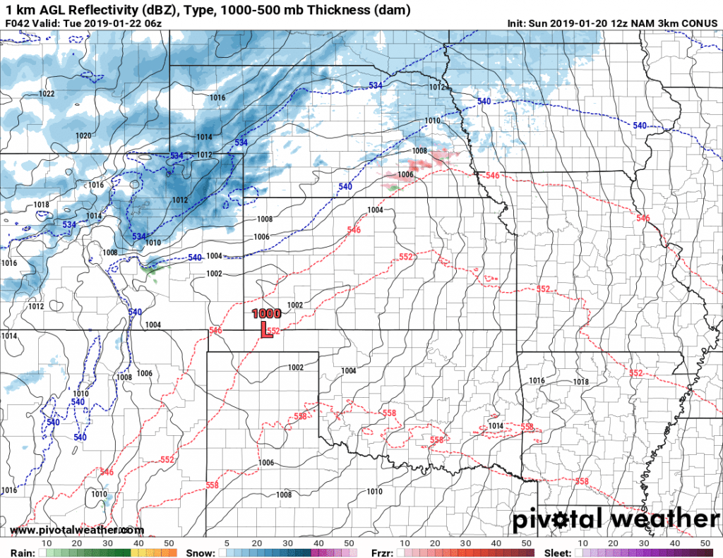
Nam3K simulated radar w/precip type for 11PM Monday
Impacts
Given the nature of these banded snowfall storms, we will expect some sort of travel impact Monday night and Tuesday morning. I suspect the Tuesday morning commute could be difficult if this storm comes together right.
Monday Night - Tuesday Morning
- Possibility of slick roads
- Quick bursts of intense snow will overcome road warming and cause snow and ice to accumulate
- Quick bursts of snow will also mean snowplows may struggle to keep roads clear during the storm

By the way, it's always a great idea to have these items in your car when you need to be out driving in snow. As we know in Colorado a minor storm can turn into a major one very quickly, so be prepared!
There's still a lot of moving parts with this storm so a lot of these details are preliminary and may change. There is still a fair amount of model uncertainty, but the snowfall amounts we gave above encompass most of them and discount the outliers.
We will continue getting data in on Sunday that will change our forecast one way or another so keep an eye on our site and facebook page for changes!

Great forecast site!
Thank you Mark! 🙂