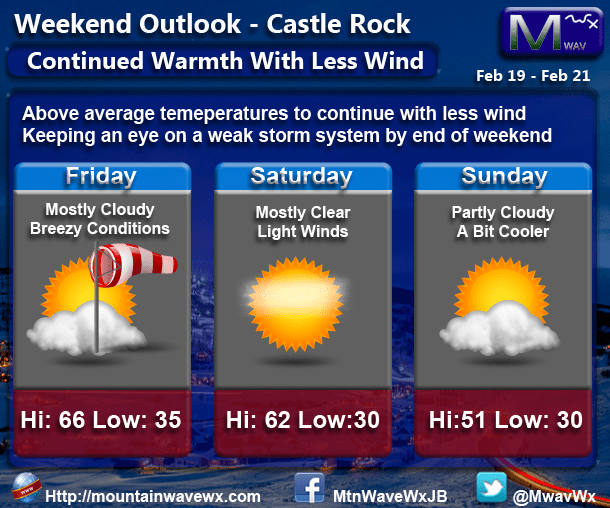
Friday February 19, 2016
The day has started out windy and will remain that way into the afternoon hours. Temperatures will be nice in the mid 60's but the gusty winds may make it feel a bit cooler. As we move into the evening, winds will slowly begin to let up and skies will clear. Expect warm overnight temperatures in the mid and upper 30's.
Saturday February 20, 2016
Mostly clear skies with some high clouds will start the day. Temperatures will be just a touch cooler but the winds should be lighter which will make for an excellent day to be outdoors. We will generally see highs in the low to mid 60's during the day and overnight temperatures in the low to mid 30's.
Sunday February 21, 2016
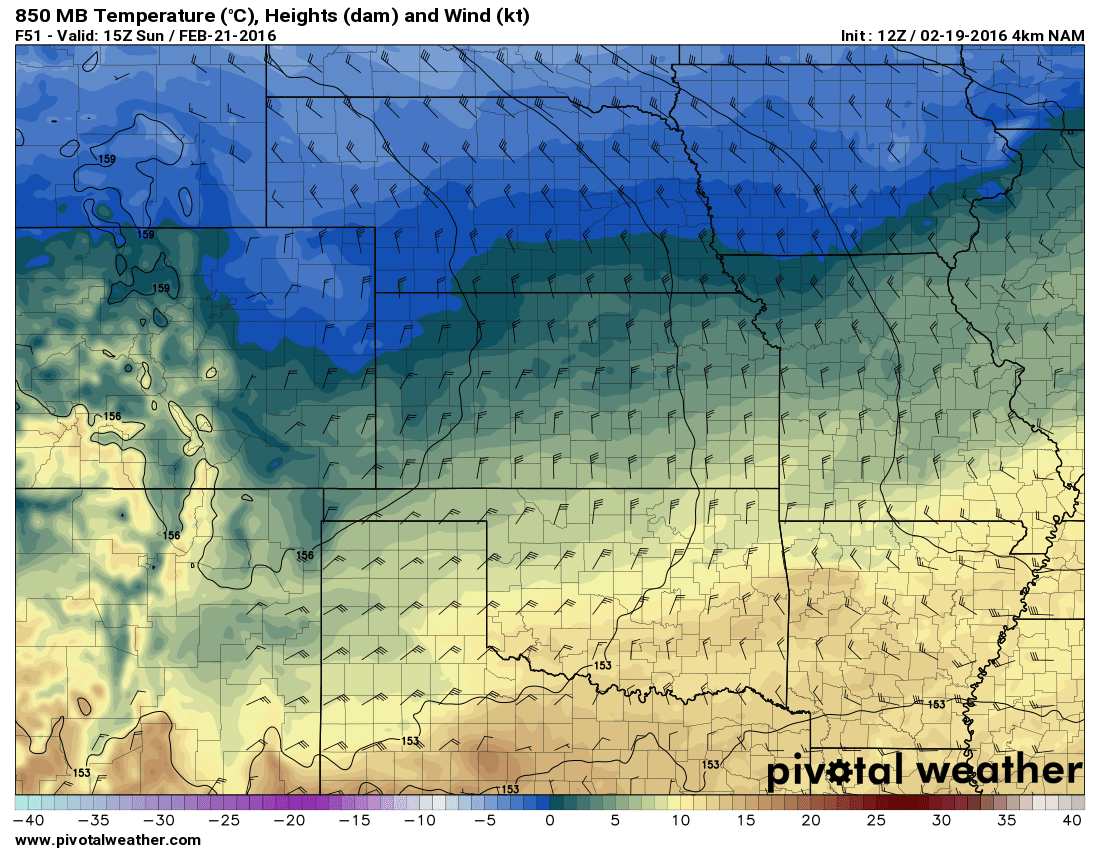
Sunday looks to be our transition day... what are we transitioning to next week? A slightly cooler and wetter period and overall the pattern change will be short lived. A cold front will just brush Northeastern Colorado sometime on Sunday which means we will see cooler temperatures.
As this front moves through, it may shift our winds and bring us enough energy for a chance of precipitation. The bad news for snow lovers is that most models have precipitation falling as rain and no accumulation due to warm temperatures should any switch over to snow.
Sunday will not be a bad day overall, any rain and snow chances show up in the Monday-Tuesday time-frame.
We'll have any updates on that weak storm system and front should they become necessary.
Have a great weekend!

