
Monsoon Sneak Peak
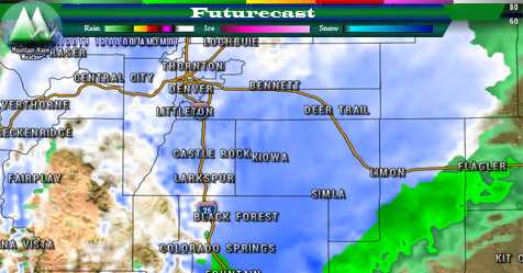
Thursday, the high pressure ridge responsible for our hot and dry conditions shifts slightly to the West. This means good moisture from the Gulf of Mexico will make its way into Colorado. That combined with weak steering winds, means storms will move slowly and have the potential for heavy rain!
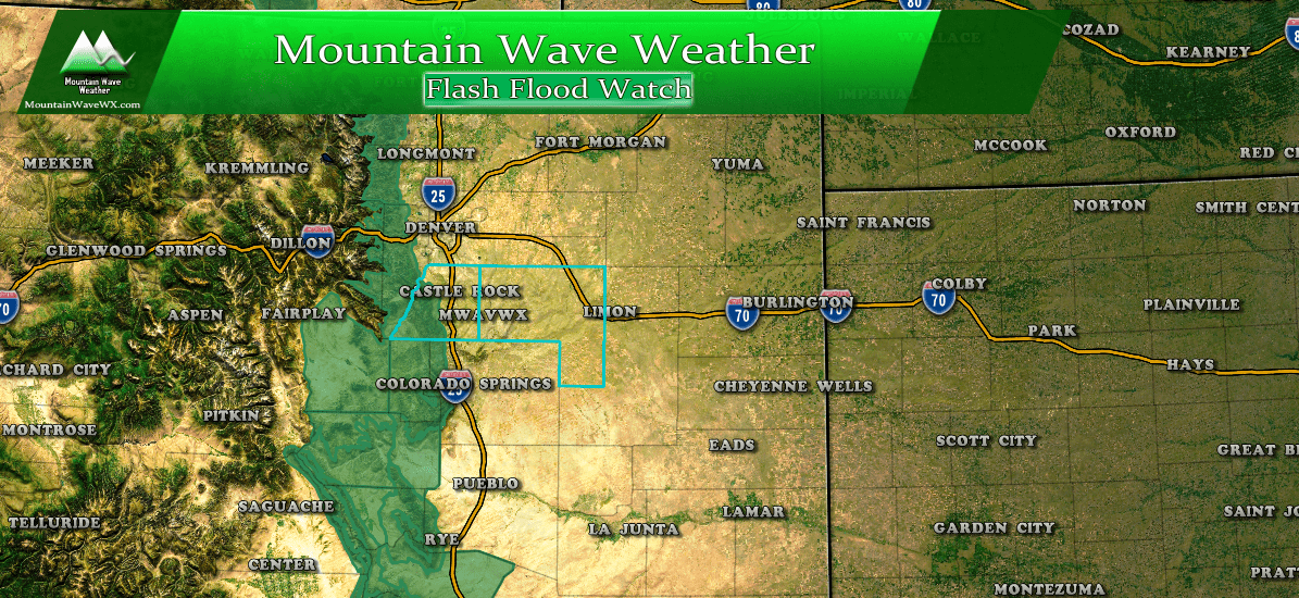
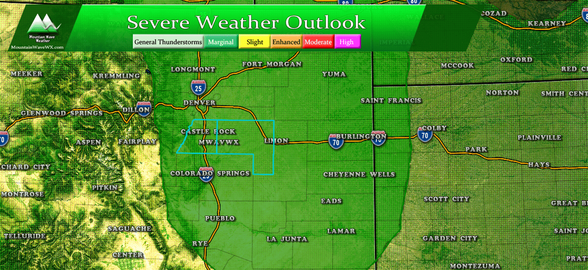
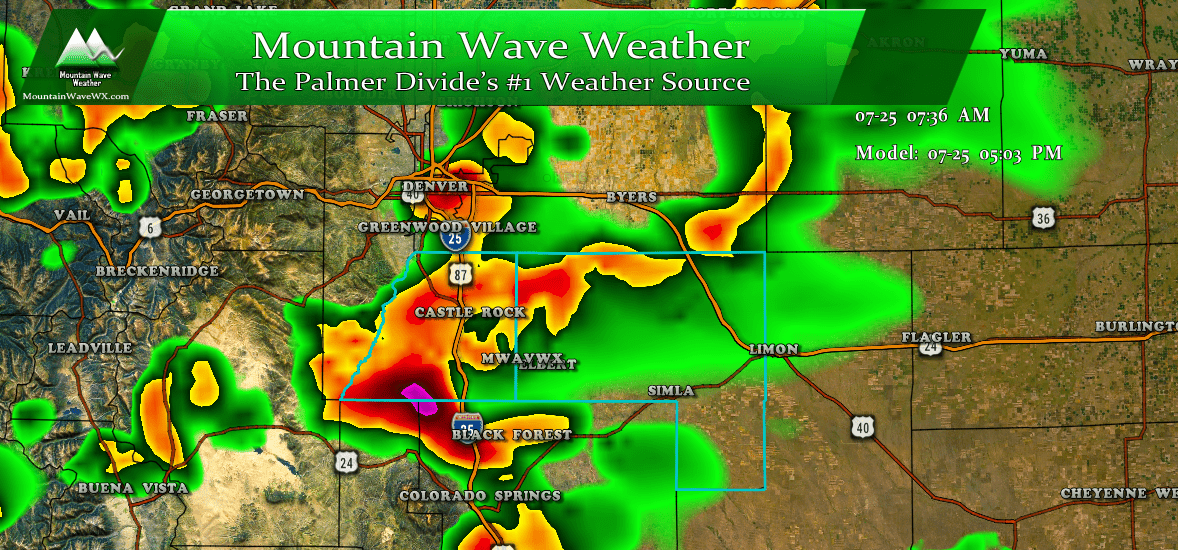
A Marginal Severe Weather risk encompasses the Palmer Divide and most of Eastern Colorado for Thursday.
Storm chances are in the 60-80% range today; I like those odds. Most folks will see beneficial rain today but due to the instability in the atmosphere we can't rule out a very isolated severe storm.
Primary threats include:
- Heavy rain/ flooding conditions
- Strong winds
- Lightning
- Possibility of hail exists for short time periods
For those of us along the Palmer Divide, the best chance of seeing storms is in the 4pm-8pm range with additional storms possible until midnight. Please stay weather aware!
